![]()
Pleasant walks starting from the Cemetery area......
| Simon J Harley |
👍
6
Thu 1 Feb 2024, 18:42 Clicked on this to find out what a pheasant walk was. Really must wear my reading glasses more often. |
| Tony Graeme |
👍
13
Wed 31 Jan 2024, 08:59 The two walks Sandy describes make up most of the two ‘Gateway Walks’ created when Charlbury became one of ten Cotswold Gateway Towns in 2021. Much of the walking is on permissive paths which do not appear on the OS map, but you will find a map in Church St, on the wall just below the Rose and Crown. The routes are also marked with ‘Gateway Town’ waymarks. I should also add that Cotswold Voluntary Wardens have been working over recent weeks on the section alongside Pound Hill, to mitigate the worst of the wet conditions. This has included laying a base to improve drainage near the Wigwell Stream and just yesterday we created three ‘steps’ on the steepest of the section to lessen the ‘slip hazard’. There is more to do, including re-covering the path with wood clippings. |
| Sandy Fairhurst |
👍
3
Tue 30 Jan 2024, 21:01 You have a super wall map outside the coop. Two good walks that would make sense if you’re parking at Pound Hill, would be: 1) Mill field circular, starting off through the field by where you park, keeping straight through the fields then following the signs. Coming out on the road by the station then back up Market St and Thames street to your car. 2) Cross over the road from Pound hill and find the footpath opposite the triangle then you walk through the Cemetery and Wigwell nature reserve, continue up to the Old Shed for a lovely break, then back through the woods to Hundley Way, coming out by the Enstone Rd crossroads. Boots definitely needed especially for 1) Have fun! |
| Christine Battersby |
👍
3
Tue 30 Jan 2024, 19:41 It's worth also looking at the walking maps on the wall by the Charlbury Co-op, and also Charlbury's Walkers are Welcome page on this website. One of the links doesn't work at present, but see: https://www.charlbury.info/walking I think it worth getting an O/S Explorer Map printed with Charlbury at the centre if you are intending to do a lot of walks in the area. It solves the problem of Charlbury being at the edge of 2 different O/S maps. Paper customised O/S maps can be ordered here: https://shop.ordnancesurvey.co.uk/custom-made/ The bookshop in Chipping Norton (Jaffe and Neale) has quite a few local walking books and guides, also some in Cotswold Newsagents, also in Chippy, as well. Free leaflets and some books are available also from the Witney Town Centre shop, 3 Welch Way, Witney. |
| Hans Eriksson |
👍
3
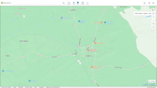
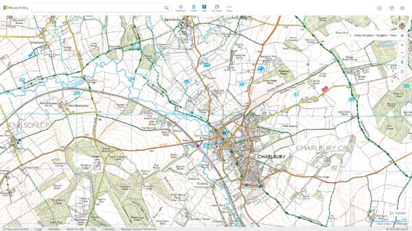
Tue 30 Jan 2024, 18:31 Not a lot of people know this but Microsoft's Bing maps display the ordnance survey footpath maps - you have to click on the icon at the top right corner.
|
| John Munro |
👍
7
Tue 30 Jan 2024, 17:32 During the Covid lockdowns, Lesley and I did a lot of walking around the area and I created the following webpage which you might find of use.... https://shilsons.co.uk/walks |
| Freddie Marsh |
👍
Tue 30 Jan 2024, 16:31 As we are new to the area we wondered if people could recommend any pleasant walks of between 30 minutes and an hour. We would drive to the Cemetery area and park at the bottom of Pound Hill which does seem rather a nice place to start from. Many thanks. |
You must log in before you can post a reply.